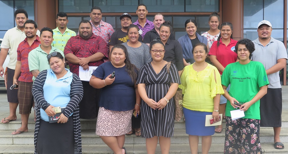
The Secretariat of the Pacific Regional Environment Programme (SPREP) and the Samoa Ministry of Natural Resources and Environment (MNRE) completed a national training for Samoa’s government officers across environment and fisheries sectors. The training was organized in the frame of the BIOPAMA regional resource and data hub for the Pacific, fulfilling its role to deliver capacity building training in the use of BIOPAMA tools and services for improved protected and conserved areas management and governance.
The objective of the training was twofold – to train targeted personnel in the use of upgraded tools and features of the Pacific Islands Protected Area Portal (PIPAP) and to train personnel in geographic information systems (GIS) utilising free, open-source GIS software and recording spatial data in the field to produce basic maps of protected and conserved areas. The training served as a refresher for others who participated in an earlier SPREP-facilitated GIS training in 2017 and a first time for new government staff who participated.
The training was held in conjunction with the second meeting of the Samoa Protected Area Advisory Committee (PAAC), a multi-stakeholder committee comprising both government and NGO representatives charged with ensuring that Samoa’s protected area targets and priorities are met through a coordinated and inclusive manner, among others. One of the items on the agenda for the PAAC meeting was Samoa’s contribution to the development and finalisation of the protected area goal and target of the Post 2020 biodiversity framework.
‘’It is with great pleasure that I speak on behalf of the government of Samoa to acknowledge the great support and assistance from the EU-ACP Biodiversity and Protected Area Management Programme (BIOPAMA) through the Secretariat of the Pacific Regional Environment Programme (SPREP). Today, we will be conducting two correlated programs that are both significant to improving protected area management and sustainable development in Samoa’’ mentioned the Chief Executive Officer of the MNRE, Mr. Ulu Bismarck Crawley in his opening remarks. ‘’This week, MNRE and SPREP are happy to host this second meeting of the Protected Area Advisory Committee and the PIPAP-GIS training for technical and field staff from our ministry and key stakeholders who are important to the field data collection effort and for working closely with our local communities.’’
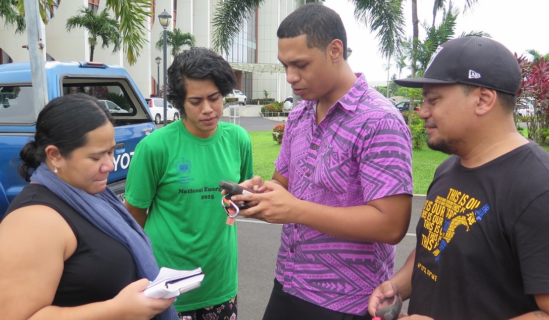
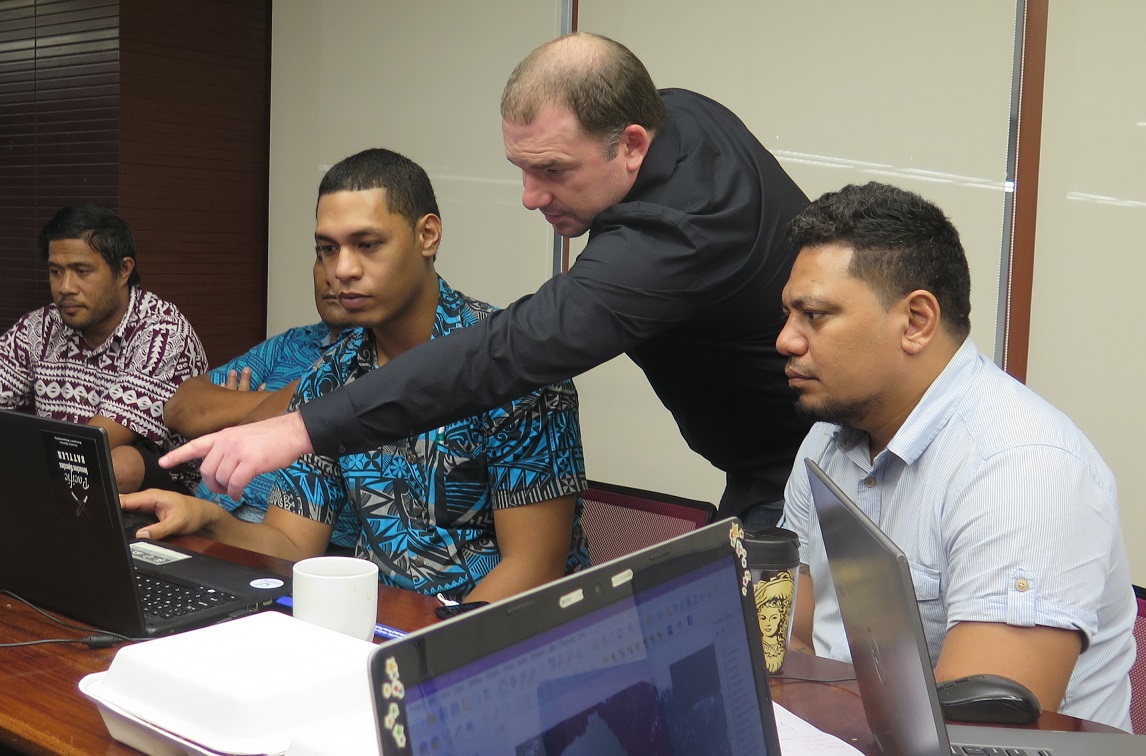
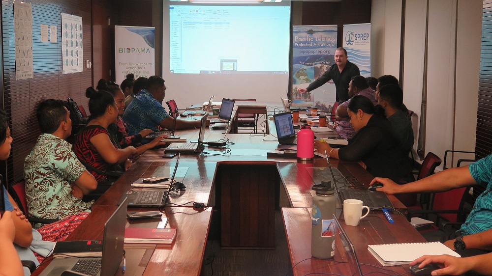
A live demonstration of the tools and features of the Pacific Islands Protected Area Portal (PIPAP), followed by practical exercises stimulated the interest of participants in using the portal as a preferred information source for assisting various aspects of their daily work. The GIS component of the training covered the fundamentals and best practice of GIS and provided hands-on, practical skills in capturing data out in the field using handheld global positioning system (GPS) units and uploading this data to software to produce site maps.
‘’We are pleased to be able to provide this technical training on the PIPAP and GIS for the government of Samoa, the PIPAP exists to assist Pacific island countries in various ways, the main goal of which is to improve outcomes of work on protected and conserved area management and governance across the region. This training is a concrete example of what the PIPAP can offer,” said Mr Vainuupo Jungblut Protected Areas Officer, SPREP. ‘’We stand ready to provide follow up technical support as needed to further mentor participants with their newly acquired GIS skills.’’
“The training was a timely follow-up GIS refresher for government technical officers, and especially beneficial as a first-time exposure for our new and more junior officers,” said Ms. Moeumu Uili, Principal Parks and Reserves Officer, MNRE. “Improving our capacity to map existing and new proposed protected areas represents a significant step forward towards better informing planning and decision making for protected areas establishment management consistent with our national protected area targets and aspirations.”
The PIPAP and GIS training for Samoa, held from 19-21 February was funded through the BIOPAMA programme, an initiative of the African, Caribbean and Pacific (ACP) Group of States financed by the European Union’s 11th European Development Fund. The training was conducted by SPREP in its capacity as the BIOPAMA regional resource and data hub for the Pacific, fulfilling its role to deliver capacity building initiatives and training programmes in the use of BIOPAMA tools and services.
In the Pacific, BIOPAMA is implemented by the International Union for Conservation of Nature (IUCN) in partnership with SPREP and the European Commission Joint Research Centre (EC-JRC). This partnership has seen significant enhancements of the Pacific Islands Protected Area Portal (PIPAP), which the region’s premier one-stop resource for protected area information.
For more information on the BIOPAMA regional resource and data hub, please contact Mr. Vainuupo Jungblut, Protected Areas Officer on email: vainuupoj@sprep.org
A similar mission was conducted in Vanuatu at the end of February 2020.
- Participants recording field points on the GPS units as part of the training practical exercise
- PIPAP GIS Specialist, Bradley Eichelberger, assisting training participants with a query
- PIPAP GIS Specialist, Bradley Eichelberger, explaining basic GIS concepts to training participants
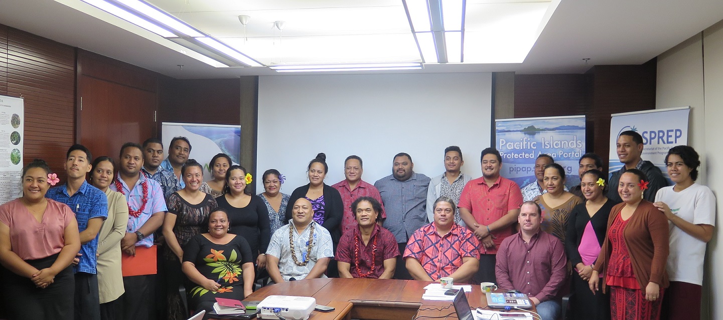
- Samoa PAAC meeting attendees
- Participants at the PIPAP training in Samoa, February 2020
Related News

prev


