


How data tells powerful stories
Protected area data and information are key, but need to be used and analysed properly in order to achieve better planning and decision making.
Using sets of data from the Caribbean Protected Areas Gateway, a new interactive tool is being implemented to learn about Marine Protected Areas across the 15 Caribbean territories covered by BIOPAMA in this region.
A storymap has been added to the Caribbean Gateway that combines maps, text, and images in a responsive way.
This tool allows users to visually engage with maps to learn about the size, extent, and natural features of the MPAs in each territory.
Explore the story map at this link!
TAGS:
Useful Resources
Related News
-
- Action component
- Data and information
- Observatories
- Planning and decision support
Results and lessons learned from grant implementation
-
- Data and information
- Observatories
Data inventorying exercise to support the Intergovernmental Authority on Development
-
- Assessment tools & their application
- Capacity Development
- Data and information
- Observatories
Meet Christine Mentzel, BIOPAMA coordinator for Eastern and Southern Africa
-
- Capacity Development
- Data and information
- Observatories
- Planning and decision support
Promoting knowledge and supporting actions for a protected planet in the Caribbean
-
- Assessment tools & their application
- Data and information
- Observatories
- Planning and decision support
Achieving fair and effective protected areas
-
- Capacity Development
- Data and information
The BIOPAMA third data webinar series: recording available
-
- Assessment tools & their application
- Capacity Development
- Data and information
- Observatories
- Planning and decision support
Western Africa region engages in creating an observatory for effective protected area management
-
- Capacity Development
- Data and information
Upcoming BIOPAMA data webinar – 7th May
-
- Assessment tools & their application
- Capacity Development
- Data and information
- Observatories
Pacific: priorities 2019-2023
-
- Capacity Development
- Data and information
- Observatories
Working together for Niue’s protected areas
-
- Capacity Development
- Data and information
Second webinar in series: use of protected area data
-
- Capacity Development
- Data and information
First webinar in series: data exploration, discovery and sharing
-
- Data and information
- Observatories
- Planning and decision support
Improved information for Palau’s protected areas
-
- Capacity Development
- Data and information
- Planning and decision support
Reporting on nature in the Caribbean and Central America
-
- Capacity Development
- Data and information
- Observatories
New webinar series – data, tools, products and services for conservation action
-
- Data and information
Reference Information System 2.0 released on 14 December
-
- Data and information
A gateway to action for protected areas in ACP countries: the Reference Information System 2.0
-
- Assessment tools & their application
- Data and information
- Observatories
- Planning and decision support
Eastern and Southern Africa sets work plan for BIOPAMA activities
-
- Data and information
- Observatories
Tuvalu moving forward towards achieving global biodiversity target on protected areas
-
- Data and information
- Observatories
National engagements with the protected area actors in the Cook Islands
next
prev
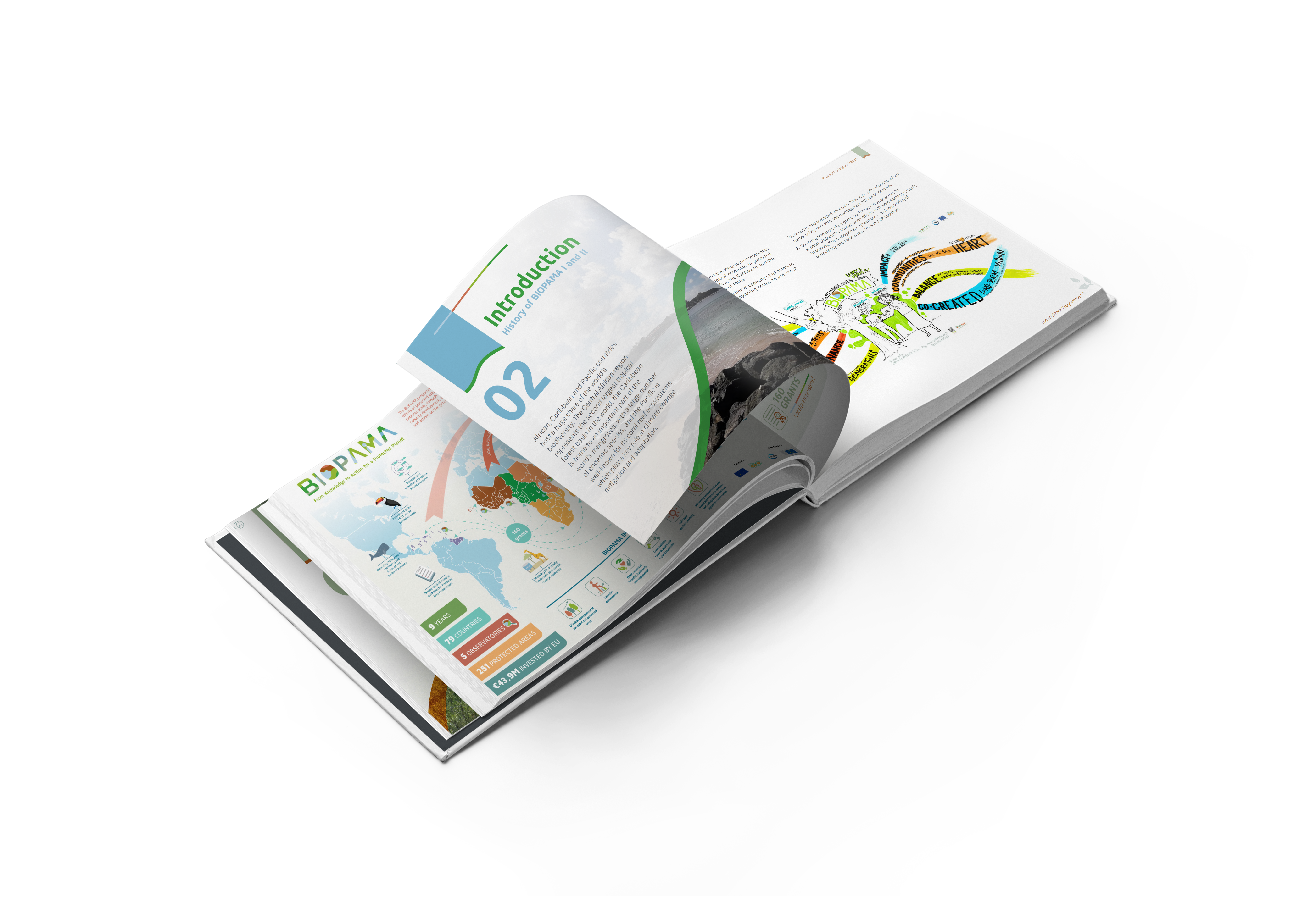
Explore BIOPAMA’s legacy!
After 13 years of impact, the Biodiversity and Protected Area Management (BIOPAMA) programme came to a close at IUCN Congress 2025.
The legacy of BIOPAMA in supporting equitable and effective conservation, data and information, and local leadership across Africa, the Caribbean and the Pacific, however, lives on.
Explore the BIOPAMA Impact Report to see how, together, we have transformed global conservation.
This website uses cookies so that we can provide you with the best user experience possible. Cookie information is stored in your browser and performs functions such as recognising you when you return to our website and helping our team to understand which sections of the website you find most interesting and useful.
Strictly Necessary Cookie should be enabled at all times so that we can save your preferences for cookie settings.
If you disable this cookie, we will not be able to save your preferences. This means that every time you visit this website you will need to enable or disable cookies again.